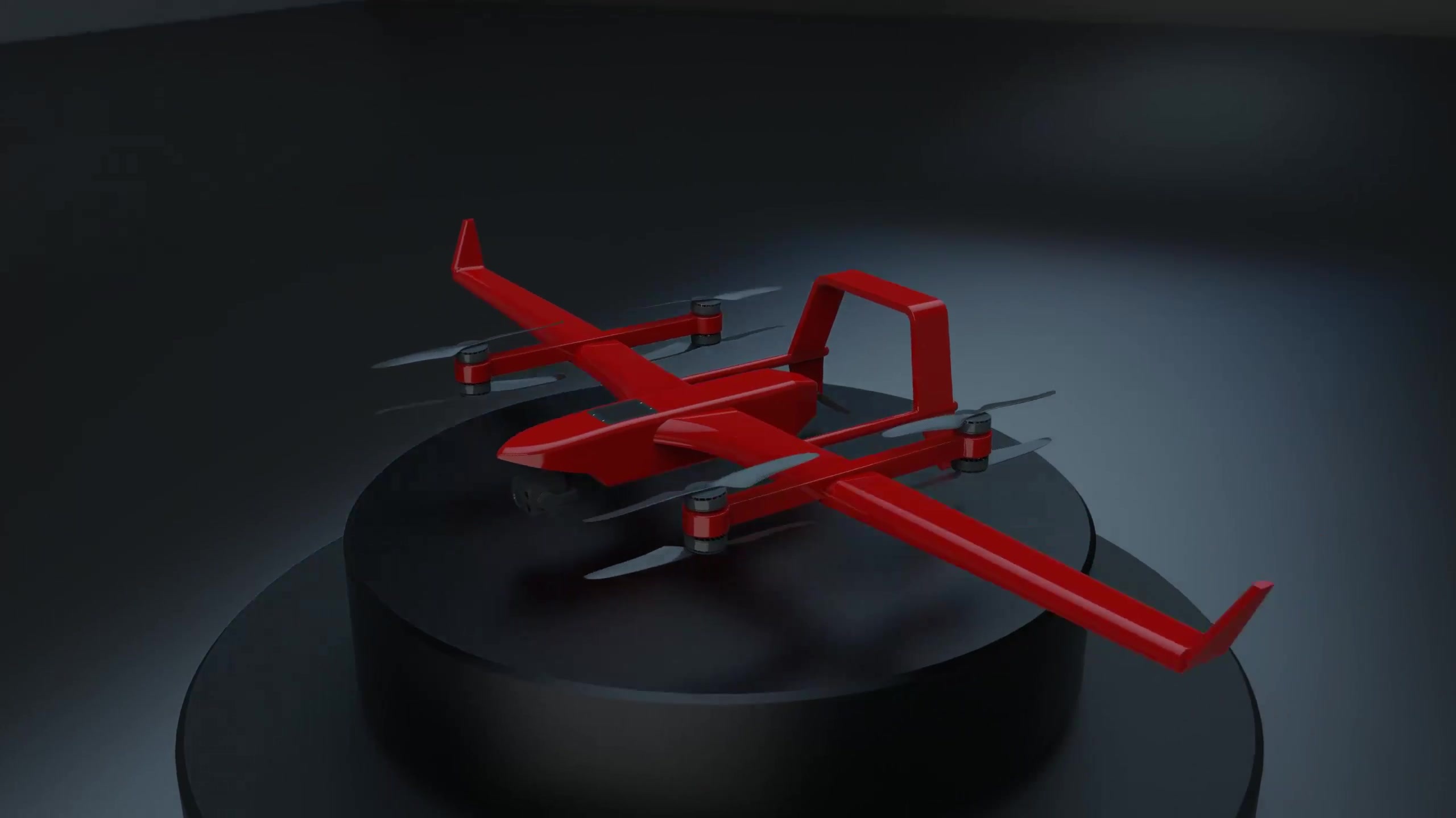
Vertical take-off and landing detection UAV
GF-ZC-30A
Simplified deployment, comprehensive insights
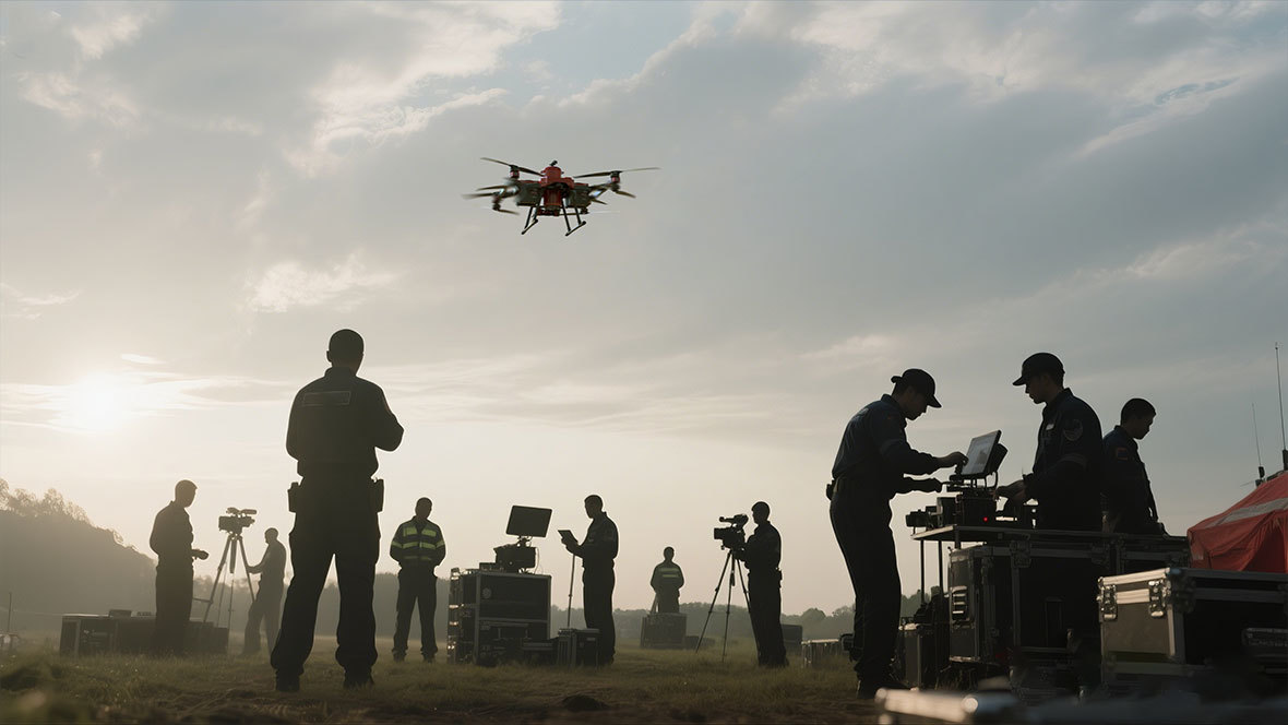
Watch VideoThis UAV is a military-civilian dual-use product. It can operate in a conventional fixed-wing aircraft configuration, maximizing endurance and wind resistance. A vertical take-off and landing (VTOL) module can also be added for flexible operational site requirements. Its excellent aerodynamic design, combined with a heavy-oil aero-engine power configuration and an intelligent flight control system, achieves a maximum endurance of up to 12 hours and a wind resistance of level 7. A maximum payload capacity of 6.5 kg allows for simultaneous operation of reconnaissance, surveying and mapping, and communication relay functions, greatly enhancing rescue and support capabilities.

Vertical takeoff and landing

Maximum load of 6.5kg

6-12h battery life

Practical service ceiling 6000m

IP54 protection level

Level 7 wind resistance

Operating temperature -20℃~55℃

MTBF > 500 take-offs and landings

侦查监控

Surveying and mapping

Communication relay
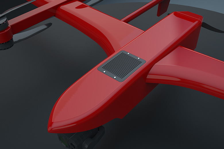
GF-ZC-30A
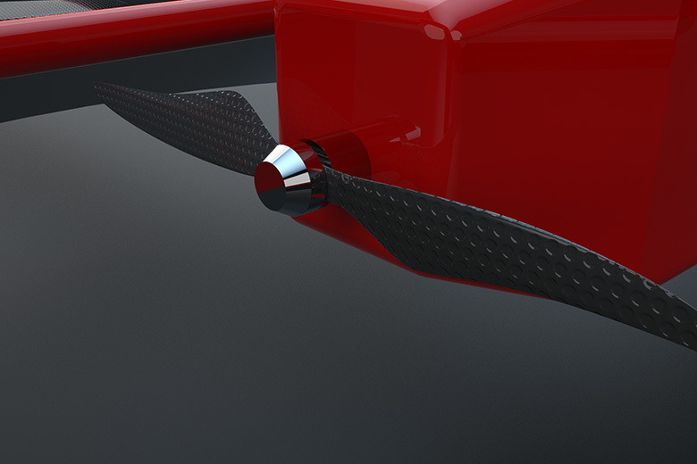
GF-ZC-30A tail rotor
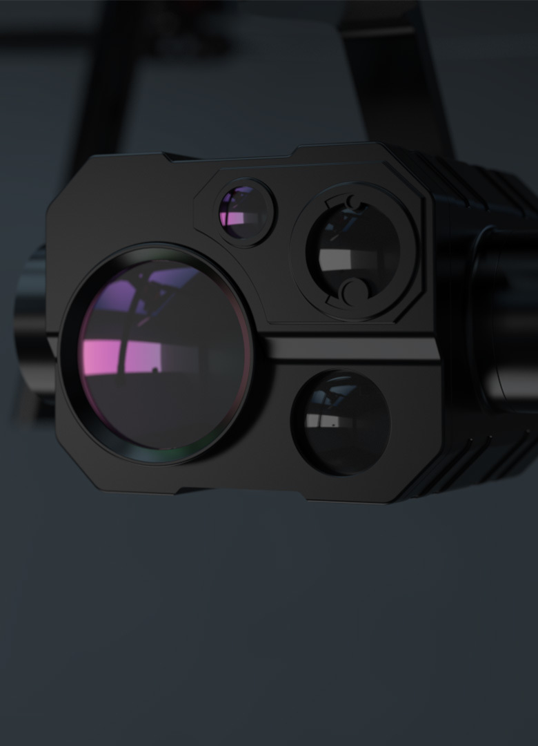
GF-ZC-30A photoelectric pod
Performance Parameters
副标题
Vertical take-off and landing detection UAV
Slogan
Simplified deployment, comprehensive insights
Fuselage length/height
1550mm/560mm
Wingspan
3200mm
Fuselage material
Modified special composite material
Power form
Oil-powered aero engine + motor
Maximum load
6.5kg
Maximum take-off weight
≤35kg
Maximum flight altitude
4500m
Practical ceiling
6000m
Endurance flight time
≥12h/≥6h (with drooping)
Cruising speed
100-120km/h/70-90km/h (with droop)
Safety wind resistance level
Level 7
IP protection level
IP54
Operating Temperature
-20℃—55℃
Data/image link distance
50km
Navigation and positioning method
BeiDou, GPS, Galileo, GLONASS full-frequency full-mode navigation, IMU
Position accuracy
RTK Vertical: 5cm RTK Horizontal: 1cm+1ppm
Direction finding method
Dual-antenna direction finding + geomagnetic direction finding
Flight operations
Manual/Autonomous
Application Areas
Application Payload

Photoelectric pod

LiDAR
Multifunctional reconnaissance component
Photoelectric pod
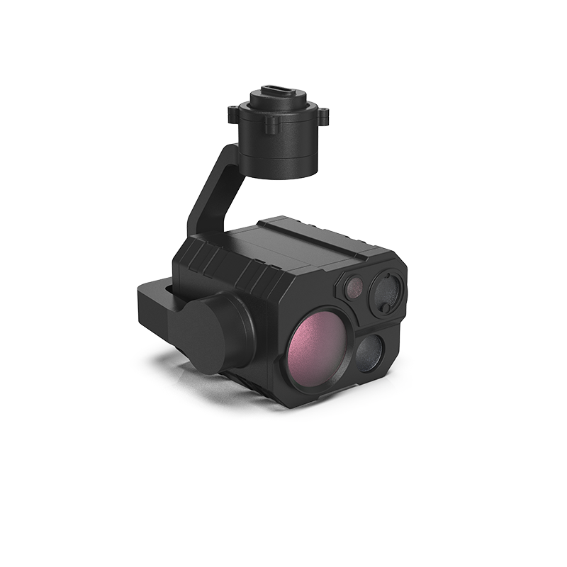
Multifunctional reconnaissance component
LiDAR
